International Sandwich Authority · Open map
Where a sandwich
is possible.
Two slices of bread at exactly opposite points of the Earth make one sandwich, but only where there is land at both ends. Most land has ocean on its far side. This map shows the places that don’t. It is free to reuse: put it in a lesson, a post or an article, and link back.
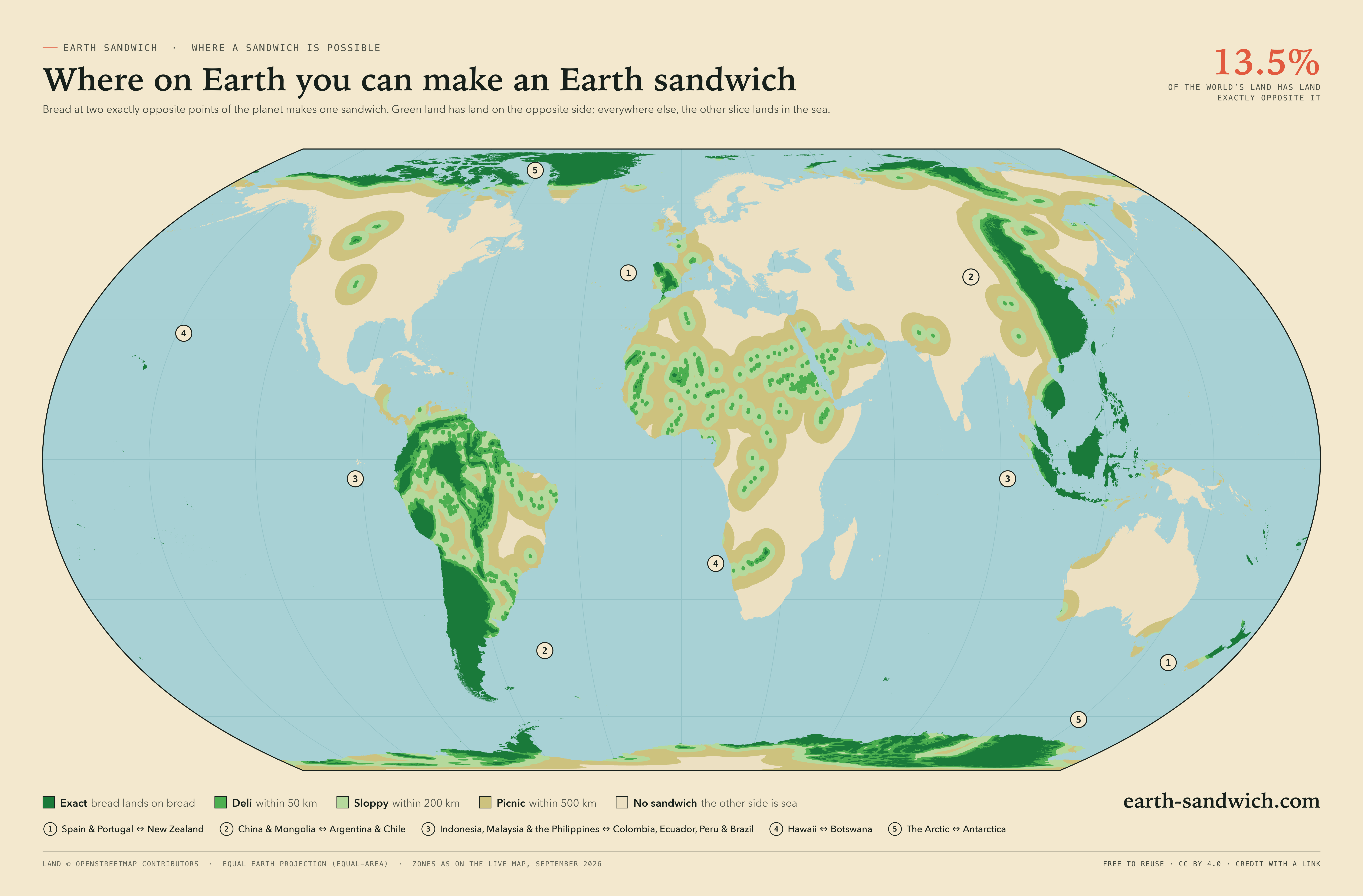
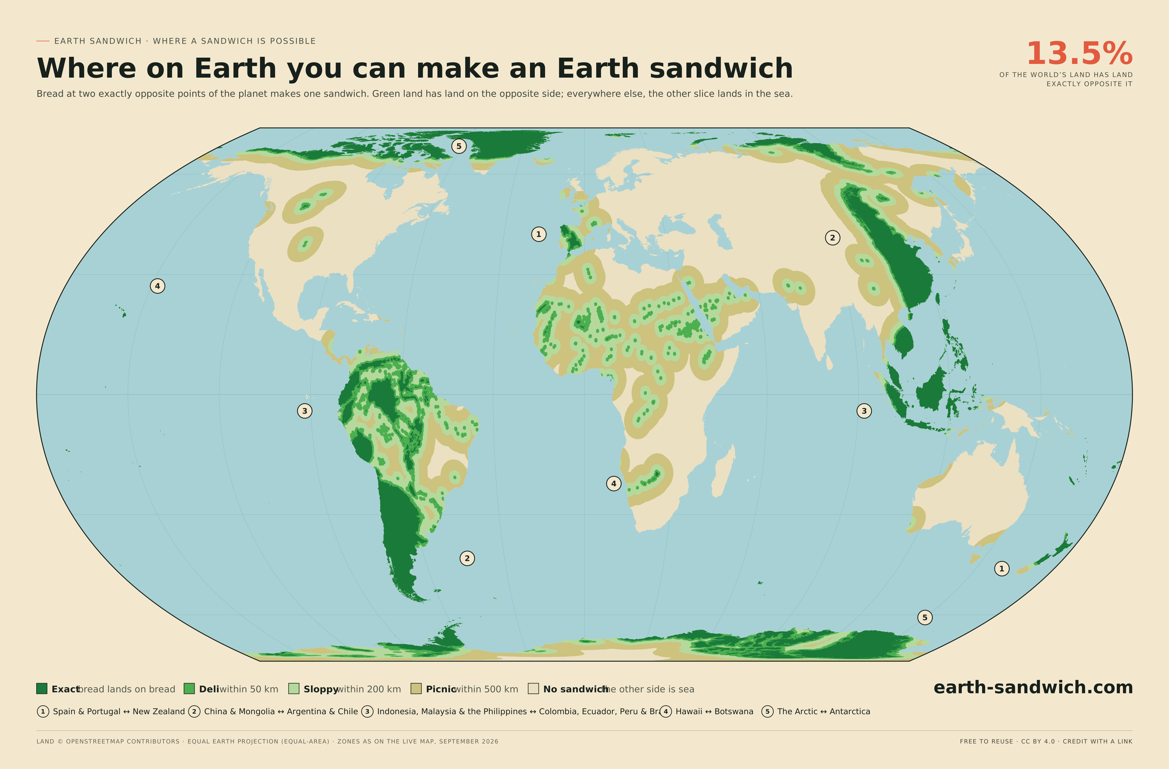
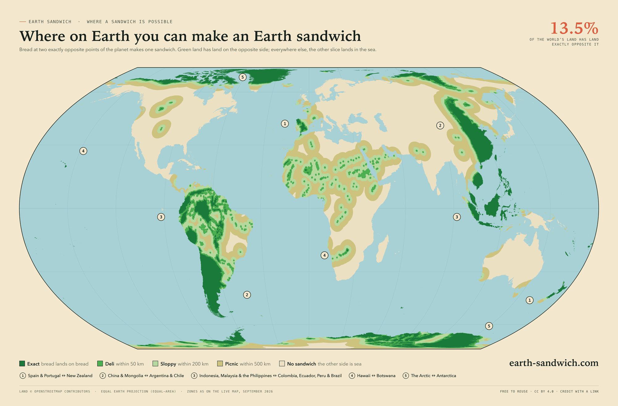
The world, in an equal-area projection so the green is in true proportion to the land. The numbers mark the five corridors where sandwiches get made.
The corridors, up close
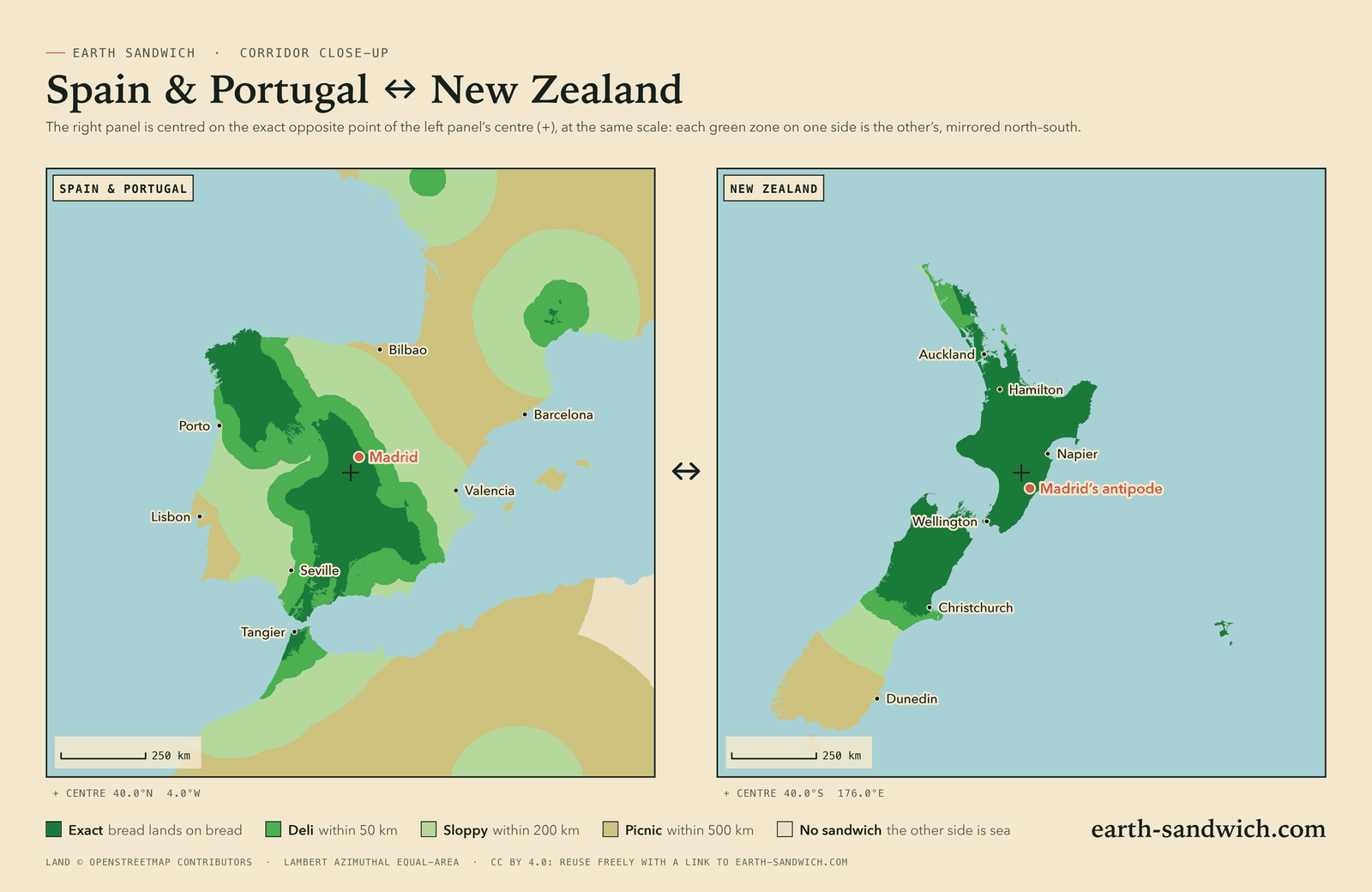
Each close-up is a pair of panels at one scale. The right panel is centred on the exact antipode of the left panel’s centre, so every green zone on one side reappears on the other, mirrored north to south. The red dot is a city on one side and its antipode on the other.
Spain & Portugal ↔ New Zealand
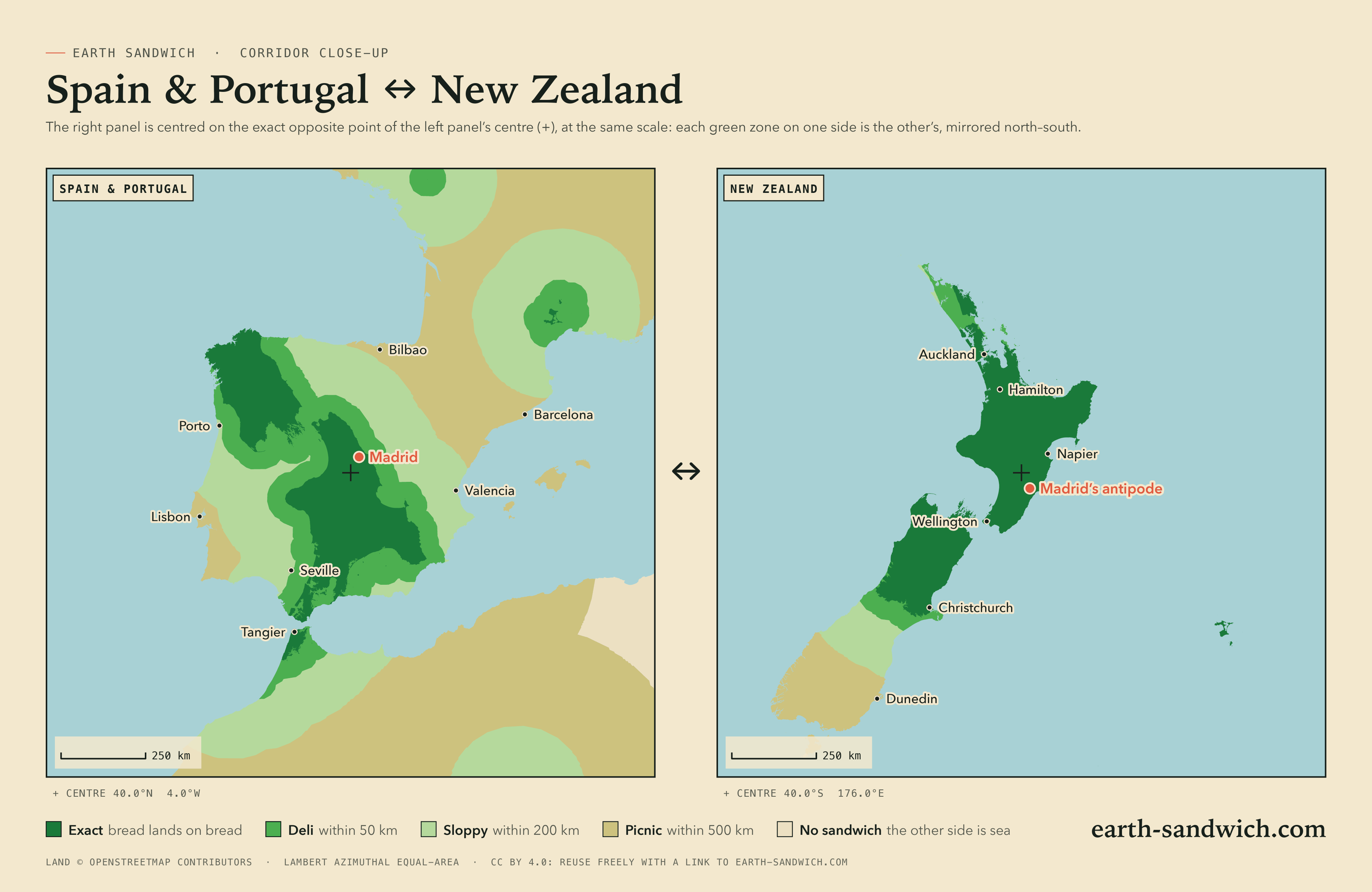
Madrid’s antipode is in the North Island, about 30 km from Dannevirke. The dark spot in southern France, near Le Vigan, is the Chatham Islands’ twin. Read the corridor guide →

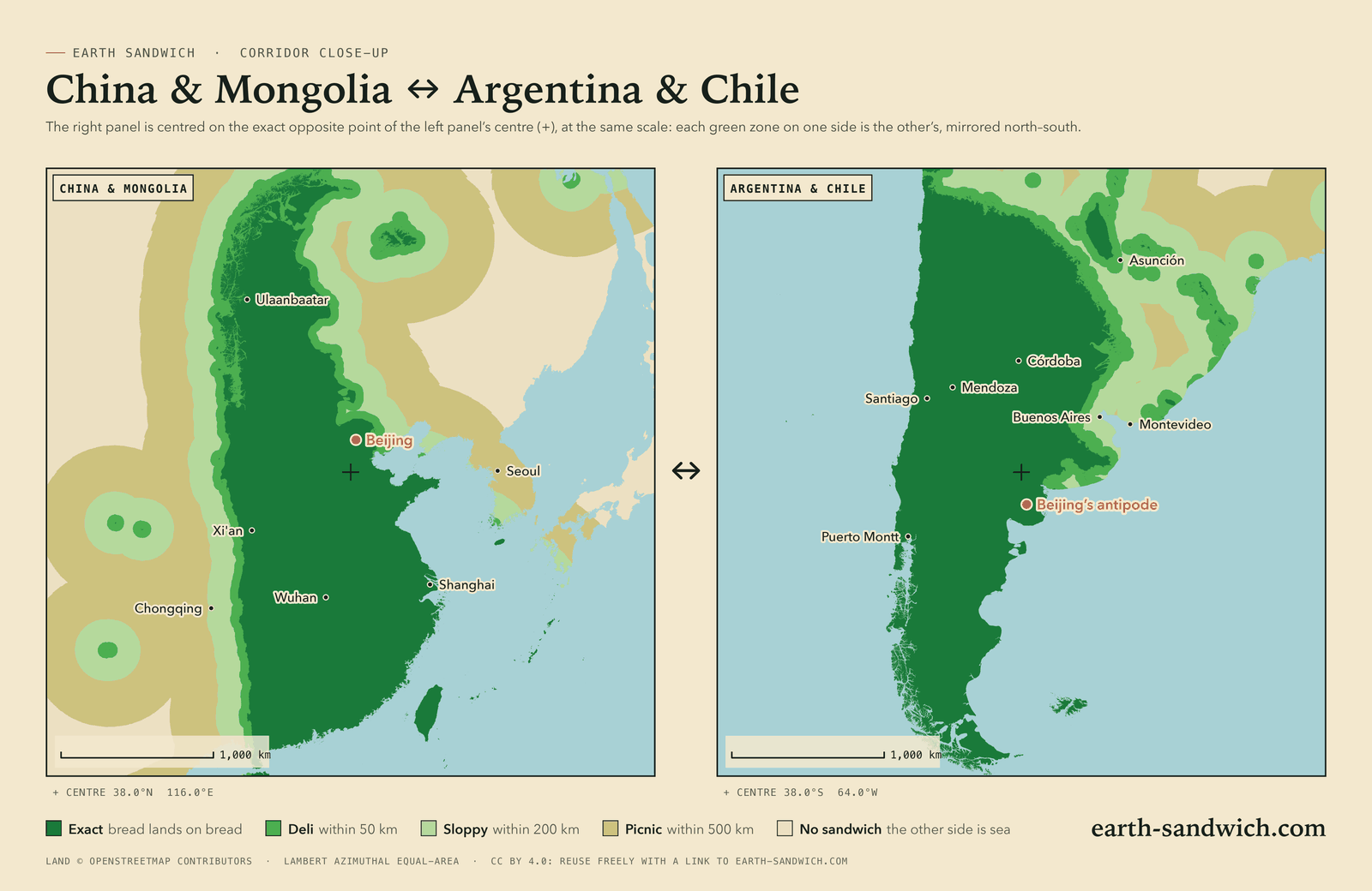
China & Mongolia ↔ Argentina & Chile
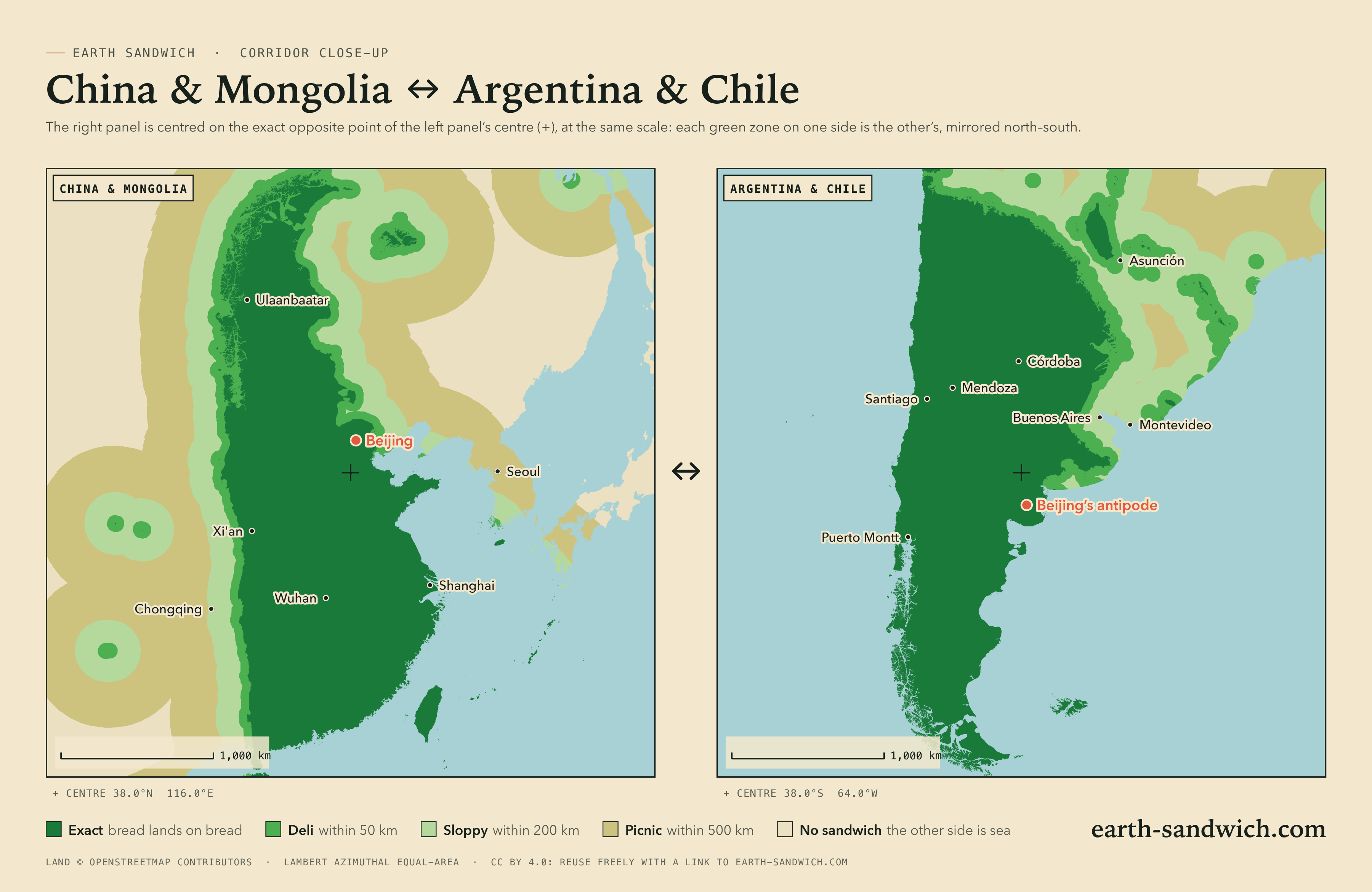
Beijing’s antipode is in northern Patagonia, about 80 km from General Conesa, Argentina. Eastern China and Mongolia sit almost entirely opposite Argentina and Chile. Read the corridor guide →

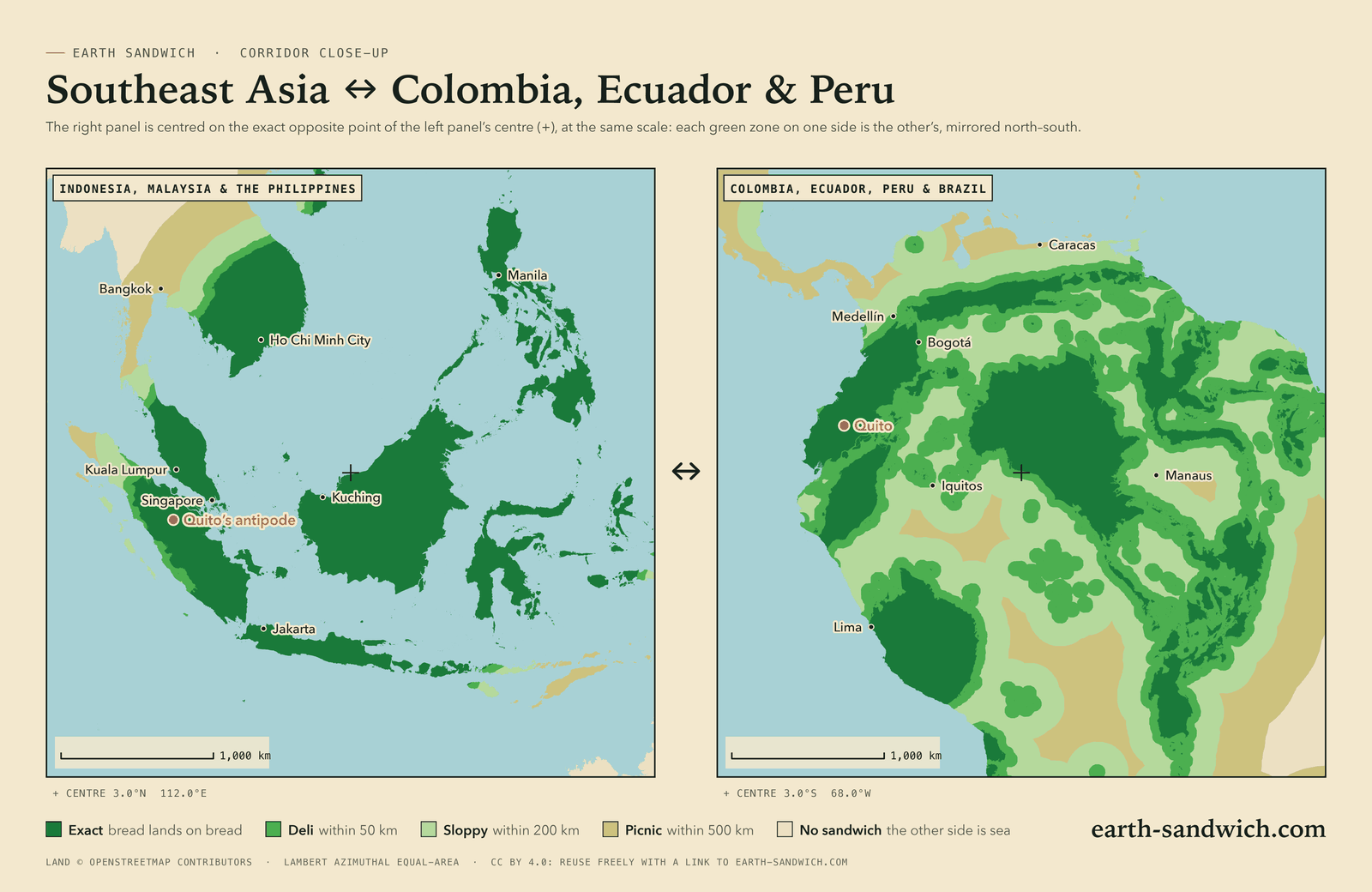
Southeast Asia ↔ Colombia, Ecuador & Peru
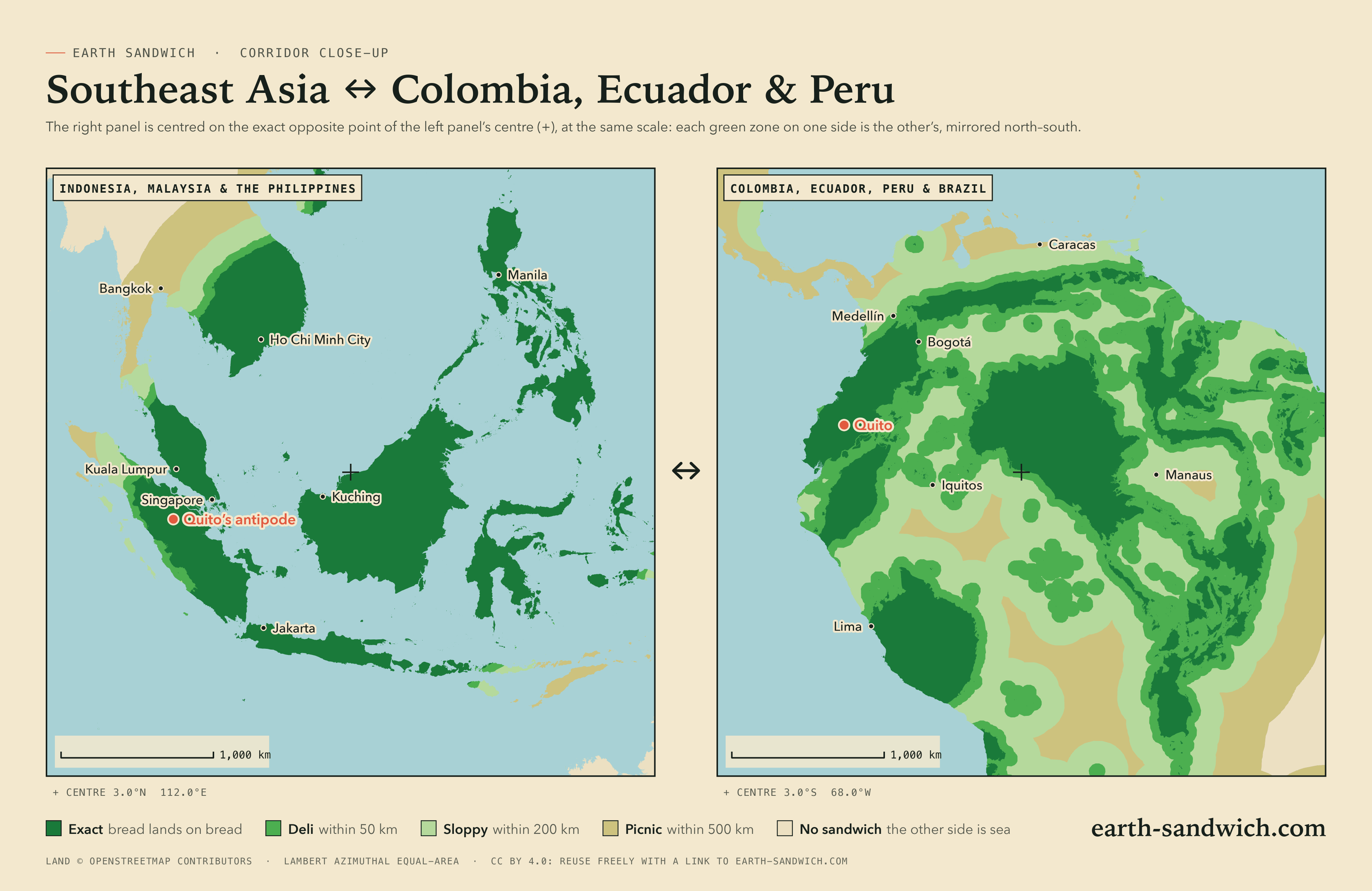
Quito’s antipode is in Sumatra, about 40 km from Pekanbaru. Borneo’s outline reappears upside down in the Amazon. Read the three corridor guides →

Hawaii ↔ Botswana
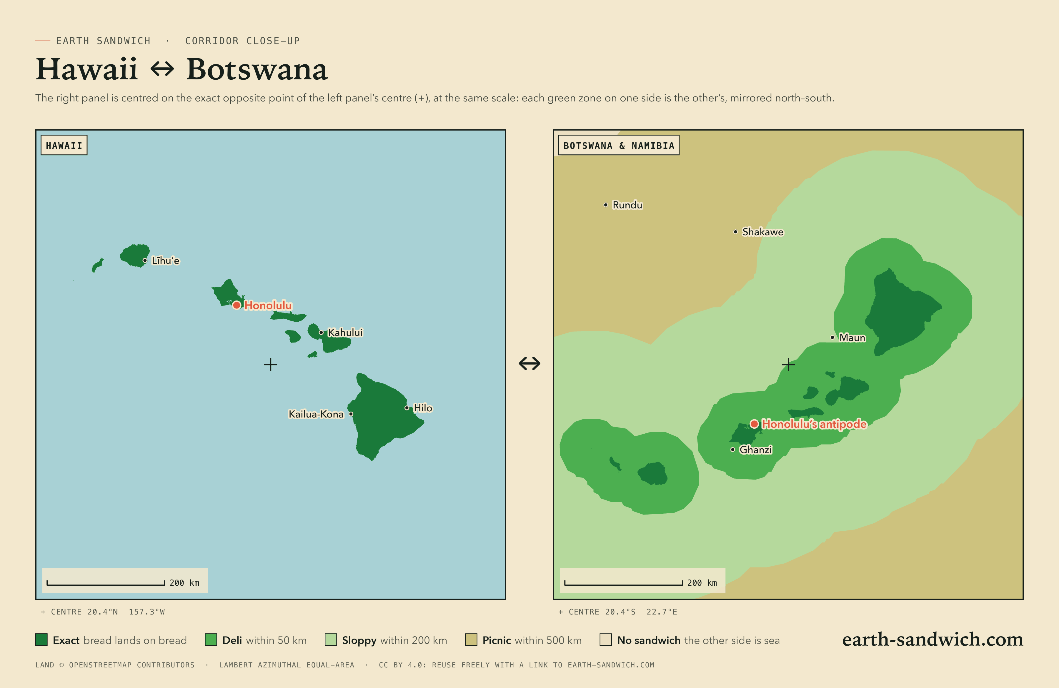
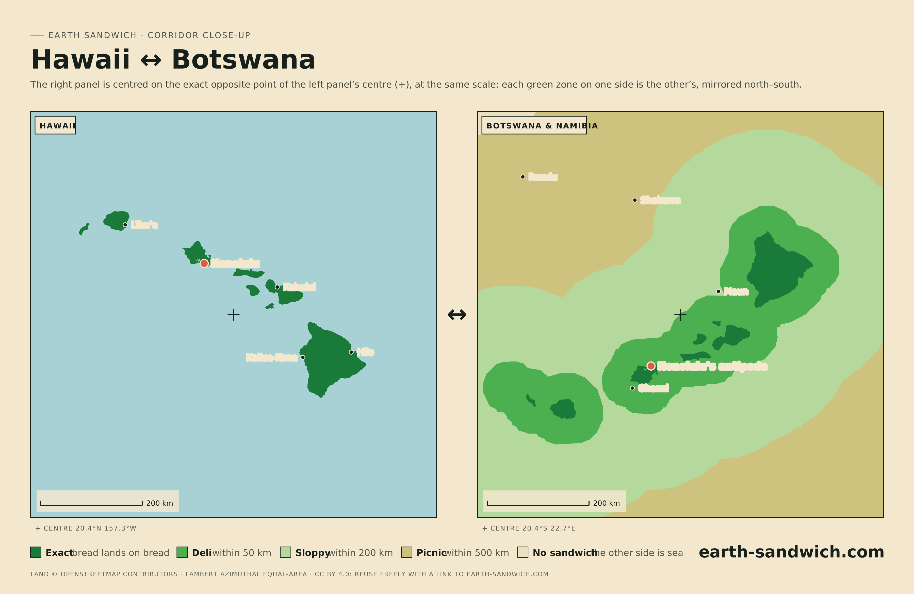
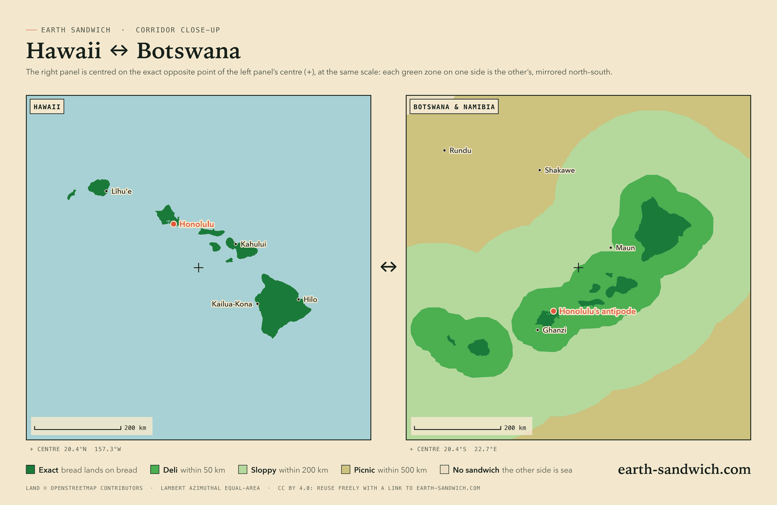
Honolulu’s antipode is in the Kalahari, about 35 km from Dekar, Botswana. Every main Hawaiian island has a twin of the same shape in the Kalahari, upside down. Read the corridor guide →
Free to reuse, with a link
All the images on this page are licensed under Creative Commons Attribution 4.0 (CC BY 4.0). You may copy, print, crop, recolour and publish them, commercially or not. The one condition is credit, and the credit we ask for is a link to earth-sandwich.com wherever the image appears. In print, the address is enough.
The land shapes come from OpenStreetMap, © OpenStreetMap contributors, available under the Open Database Licence. The images are drawn from that data, and the ODbL asks that the OpenStreetMap credit stay with them; it is printed on every image and included above. If you extract the outlines from an SVG to use as data, that data stays under the ODbL rather than CC BY.
How the map is made
- Land is OpenStreetMap’s coastline, as the land polygons published from it, at full detail.
- Every piece of land is flipped to the other side of the Earth: latitude changes sign and longitude moves 180°. Where flipped land falls on land, bread can land on bread, and the zone is exact.
- The other shades are land whose antipode is within 50 km (deli), 200 km (sloppy) or 500 km (picnic) of land, measured as true distance in every direction on a grid of about 2 km.
- The Earth is a sphere, as Sandwich Law decrees, so antipodes are the simple flip above.
- Projections keep area honest. The world is drawn in Equal Earth; the close-ups in Lambert azimuthal equal-area. The percentages above are measured on the world image, which equal area makes possible.
- It is the same geometry as the live map, which adds what an image can’t: your own spot, its antipode, and the elevation bonus.